
Leominster Neighbors in Block Records
Public sources answer different questions around one Leominster address. The municipal GIS identifies a parcel and shows the owner field on its result card. The assessor adds fiscal property context. The Worcester deed index names recorded parties and dates. A voter record is more limited: Massachusetts provides an individual status tool and a defined public voter-file subset, not an unrestricted online street browser. Historical directories and newspapers can add a dated household clue but should never be read as proof of a current resident.
| Source | What it can show about a block | Access |
|---|---|---|
| Leominster GIS | Mapped parcel, address or ID result, owner field, and adjacent-map context | Public viewer with dynamic map tools |
| Assessors Office | Owner of record, situs, mailing contact, fiscal values, and parcel details | Municipal assessment route |
| Worcester Registry of Deeds | Recorded parties, deeds, plans, book/page, and recording dates | Online index and document images |
| Local voter request | Defined public voter fields in a bounded municipal record | City elections office request; protected fields stay withheld |
| Library collections | Historical street lists, directories, newspapers, and map context | Library shelves, microfilm, and online collections |
An owner, a voter, a directory resident, and a deed party are four different dated relationships to an address. Keep those labels separate before drawing any conclusion about your Leominster neighbors.
Leominster Neighbor Parcel GIS
The Leominster GIS Database is the city entry point for parcel research. Its public viewer accepts an optional “Address, Parcel ID” search and returns result rows with ID, idx, Complex, Unit, Owner, and Address. A Parcel Details action can show streetAddress, owner, IDName, and the parcel identifier. The map tools include Layers, Identify, Measure, Print Map, and a summary control. The live layer menu is dynamic, so its current contents should be checked in the viewer.
The official GIS viewer is the source behind those parcel searches.

The GIS image illustrates the city’s mapping route, not a list of households. Copy the current parcel ID and owner spelling from the result card, then verify a material ownership question through the assessor or the recorded deed.
Map a Leominster Neighbor Block
The immediate-block method is intentionally narrow. It starts with a known address and moves outward through parcel boundaries, not through a search for names. The result is more reliable and less invasive than trying to assemble a generalized list of Leominster neighbors. Use the parcel map first, record its date, and describe only the record relationship the source actually shows.
- Enter the address or parcel ID in the GIS viewer and save the returned situs address and parcel identifier.
- Use the map and Identify tools to inspect the parcels immediately around the subject parcel.
- Open each available parcel detail and record owner-of-record separately from the situs and any mailing contact.
- When an ownership question matters, use the Worcester land-records portal to check the recorded instrument, parties, date, and book/page.
- Use an old map, directory, or street list only as dated context for a historical block.
The Leominster by-street directory carries the longer whole-street chain through deeds, maps, permits, and old street evidence. A block search should stop once the immediate parcel question is answered.
Note: A tax owner or recorded party may use a mailing address elsewhere and is not automatically the person living at the parcel.
Leominster Neighbor Evidence Has Dates
A parcel record is strongest when read with its own time marker. The Assessors Office values about 15,000 parcels each fiscal year, while the Registry reaches back to 1731 and has different search architecture before and after 1960. A modern assessor card can show fiscal valuation, owner, situs, and a mailing field. A deed image can show grantor, grantee, instrument, book/page, recorded date, and a legal description. Neither source is a complete current-occupant roll.
For a historic street question, the 1915 Price & Lee directory and its Street Guide give a year-specific address trail. The volume’s abbreviations matter: N L means North Leominster, h marks a home, rms means rooms, bds means boards, and do means the same as the entry above. Read the key in the same volume before matching an old address to a modern parcel.
- Situs address
- The physical parcel location used in municipal property data.
- Owner of record
- The person or entity shown on a current assessment or recorded-property record; it is not proof of occupancy.
- Recorded party
- A grantor, grantee, trustee, estate, or other named party on a Registry instrument.
- Abutter context
- The adjoining-parcel information visible through map research, not a claim about every household member.
Leominster Neighbor Community Areas
Leominster has named places that help locate a block in local records. French Hill/Comb & Carriage, Adams Street, Downtown/Monument Square, Whalom/North Leominster, and Burrage Avenue/Mascoma Avenue recur in planning and history materials. They are useful wayfinding terms, but the research found no official citywide neighborhood-boundary dataset or open neighborhood-association directory. Do not turn a planning-area name into a claim that the city publishes a roster of its residents.
The city’s Burrage and Mascoma community-engagement page is a concrete example of a neighborhood-area source.
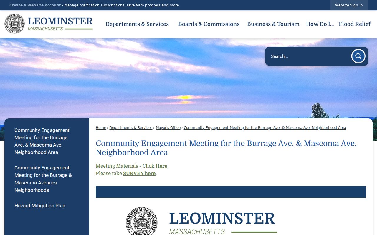
Use material like this to understand the public discussion around an area. For a historical street name, the library, Historical Society, Historical Commission, old maps, and the directory Street Guide are better evidence than an assumed modern neighborhood line.
| Local source | Best use | Access note |
|---|---|---|
| Leominster Library | Directories, street lists, newspapers, yearbooks, maps, and reference help | Reference staff and local-history collections provide the historical route. |
| Leominster Historical Society | Photographs, artifacts, maps, documents, and local library material | Some material may require direct contact or member access. |
| Historical Commission | Municipal-history context and historic-property questions | Not a current resident roster. |
Leominster Neighbor Cemetery Clues
The Leominster Cemetery page identifies Evergreen Cemetery and links its online cemetery card files in XLSX format. The city also maintains Pine Grove under cemetery rules. Evergreen’s card files, office, and reference staff are the practical access routes because the city did not provide a normal public name-search interment database. Cemetery data can help identify a burial, lot, or family connection, but it cannot prove a present Leominster address.
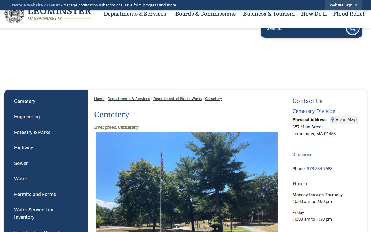
This resource belongs in a historical block or family trail after a name is already supported by dated records. Use a death certificate or obituary for residence evidence, and treat burial information as place-of-interment evidence only.
Leominster Neighbor Voter Limits
The Secretary of the Commonwealth’s voter-information guidance describes the public fields and the withheld fields. Public records can include name, address, party, date of birth, active or inactive status, voter ID, registration date, certain history, and mailing address where public. Phone number, email, veteran status, permanent-absentee status, confidential voter records, and minors’ records are not included in public files.
The Massachusetts voter status form requires a name, date of birth, and residential ZIP for an individual check under M.G.L. c. 51 §64. It returns status and polling-place information, not a list of other people. For a bounded municipal file, contact Leominster elections and describe an existing street, precinct, year, or date range. The City Clerk’s public-records process accepts requests for existing records and allows up to 10 business days.
For a historical block, the State Library lists Leominster voting lists for 1956, 1978, 1980, 1986, and 1988. The Leominster Library also lists poll-tax reports for 1915 through 1931 and street lists from 1958 forward. These are year-specific sources with changing eligibility and address conventions. Match a name to a house number, directory, newspaper, deed, or vital record before treating an old list as an identity match.
| Official record route | What it is better for | Limit |
|---|---|---|
| Parcel and deed records | Property identity, ownership, and boundary context | Do not prove current occupants. |
| Bounded voter record | Dated public registration fields under the access rules | Not an unrestricted street browser; confidential data stays protected. |
| Commercial neighbor products | May offer broad, mixed-source results | Can be stale or mismatched and cannot replace an official custodian record. |
Privacy Limits for Leominster Neighbors
Massachusetts records include important protections. The Address Confidentiality Program gives qualifying participants a substitute address and mail-forwarding service. Supreme Judicial Court Rule 1:20 supports substitute addresses in qualifying public civil matters. The actual address must not be inferred, reverse-engineered, or republished. A public parcel or voter result also does not justify collecting phone, email, delivery, or restricted information.
Massachusetts Public Records Law, M.G.L. c. 66 and c. 4 §7 cl. 26, with 950 CMR 32.00, governs requests for existing public records and lawful redaction. If a record seems wrong, ask the custodian about correction rather than replacing it with an assumption. For a safety concern, preserve the source and contact the appropriate public authority. The safest block research stops at the purpose of the request and leaves unnecessary personal details out of notes, screenshots, and messages. A dated parcel identifier and source link are usually more useful than a copied profile or a broad personal summary. They also let another researcher verify the same limited fact without expanding the search beyond its stated purpose.