
Leominster ZIP Code Coverage
The official sources support one careful conclusion for a Leominster ZIP code directory: 01453 is the standard ZIP attached to the Leominster municipal city name. It covers postal addresses using that name, including ZIP+4 delivery subdivisions. The evidence does not support assigning every edge street or nearby postal label to the city from a map alone. USPS verifies an individual delivery address, while the city and county systems keep their own parcel and municipal records.
| ZIP | Postal coverage | Post office | Research note |
|---|---|---|---|
| 01453 | Leominster postal addresses using the Leominster city name, with ZIP+4 subdivisions | Leominster Post Office | The verified standard five-digit ZIP; check a full address for exact delivery status. |
| Nearby ZIPs | Postal-city areas that may touch or sit near the municipal edge | Varies by address | No additional standard ZIP was verified for the municipal boundary in the inspected official sources. |
That distinction matters for family research, parcel questions, and mail-address correction. A postal ZIP describes a delivery system. It does not create a city tax boundary, prove that a parcel is in Leominster, or turn a person who appears on a dated record into a present occupant.
Note: Treat a five-digit ZIP as a postal starting point, then confirm the record type and date with its actual custodian.
01453 at the Leominster Post Office
The USPS Leominster Post Office listing identifies the local facility at 68 Main Street and ties it to 01453-9998. It lists retail hours of Monday through Friday, 8:00 a.m. to 5:00 p.m., Saturday, 8:00 a.m. to 12:30 p.m., and Sunday closed. Those details identify the facility, not the full set of city streets it delivers to.
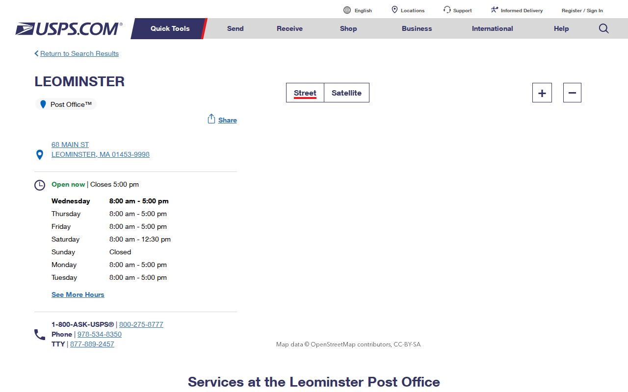
Use the listing to confirm the post office and postal city context. For a house, unit, or business address, the address lookup is the stronger source because it returns the delivery ZIP assigned to that point.
Leominster’s address geography can be confusing near the North Nashua River, Monoosnoc Hills, and town edges. A geographic impression is not enough. Keep a USPS delivery result alongside the city assessor’s situs address and the Registry of Deeds town or property search when the question concerns a parcel.
USPS Checks for Leominster ZIP Codes
The USPS ZIP Code Lookup is the official address-level tool. Use the complete delivery address rather than guessing from the city name. It is especially helpful when a ZIP+4 is needed, a street lies near a municipal edge, or a directory entry has an old address format. The result corrects a postal address; it does not substitute for a property or resident record.
| Lookup input or output | How to use it |
|---|---|
| Street delivery address | Enter the full address to obtain the ZIP and ZIP+4 assigned to that delivery point. |
| City and state | Use as a postal search path, then verify the returned address before relying on it. |
| ZIP+4 result | Record it as a delivery-segment detail, not as a neighborhood label or municipal boundary. |
| Returned postal city | Compare it with the assessor situs and parcel town when the result affects a Leominster record search. |
The most reliable habit is to save the query date and the standardized result. Postal assignment can change, while a historical directory, deed, or municipal street list has its own date and purpose.
Find Residents Within a Leominster ZIP Code
A ZIP can narrow a supplied address, but the official Leominster tools do not offer a public browse-everyone-by-ZIP directory. The public GIS viewer is keyed to an address or parcel ID, and Massachusetts voter status is an individual check that requires a supplied name, date of birth, and residential ZIP. A municipal request should seek an existing bounded record, not ask an office to create a new resident roster.
- Use USPS to check the complete delivery address and retain the five-digit ZIP and ZIP+4 result if one is returned.
- Enter the street address or parcel ID in the Leominster GIS viewer to locate the mapped parcel.
- Use the assessor result to separate the parcel’s situs from the owner mailing contact and fiscal-year data.
- For an individual status check, use Massachusetts voter status only with the person’s supplied name, date of birth, and residential ZIP.
- Ask the City Clerk or assessor for an existing ZIP or address field only if that office maintains the bounded record needed.
Once an address is narrowed, the Leominster by-street directory has the fuller address-record sequence. That process follows parcel, deed, map, and dated local sources without treating the ZIP as evidence of a current household.
Leominster Parcel IDs and ZIP Codes
Address, parcel ID, and ZIP are separate keys. The Leominster Assessors Office values roughly 15,000 parcels annually and links to the municipal GIS application. In the viewer, the optional “Address, Parcel ID” field can return a row with ID, idx, Complex, Unit, Owner, and Address. Opening Parcel Details supplies the current map-card context for that result.
The city GIS database entry point leads to the parcel research tool used for an address start. The interface also provides map layers, Identify, Measure, Print Map, and related controls, although its full live layer list is dynamic. Copy the parcel identifier exactly as shown. The research did not verify a published universal Leominster parcel-ID format.
The official USPS lookup screen is the postal check used before the parcel step when a delivery address is uncertain.
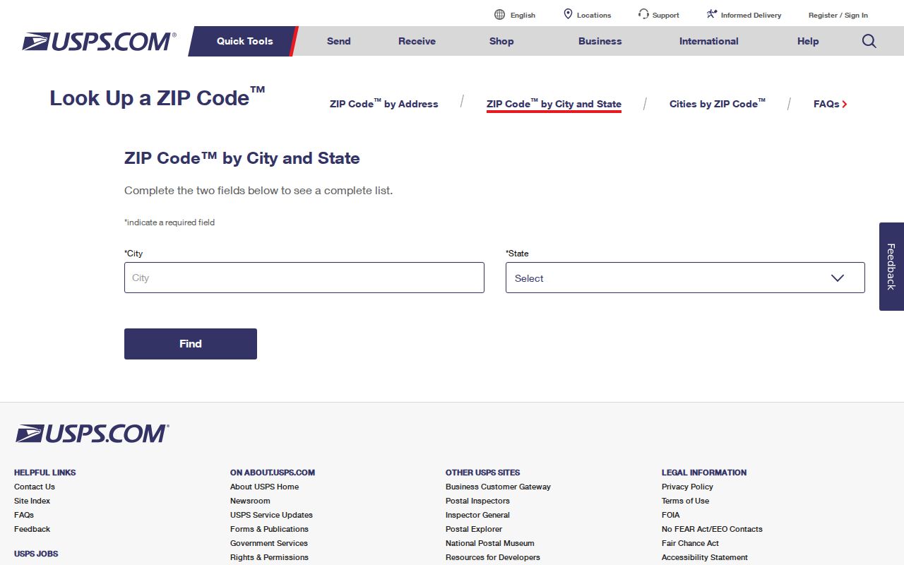
This USPS screen cannot show the owner of record, an adjacent parcel, or a municipal boundary, so the GIS and assessor route remains necessary for those questions.
Leominster ZIP Code Borders and City Lines
The MassGIS five-digit ZIP dataset is useful for mapping 01453, but MassGIS expressly cautions that USPS does not maintain an official ZIP map. Its polygons and CITY_TOWN attribute are practical geography tools. They are not legal municipal lines, tax districts, school districts, or delivery routes. That is why a Leominster ZIP code directory needs both a postal check and a municipal parcel check.
- ZIP code
- A five-digit USPS routing code connected to a postal delivery system, not a municipal boundary.
- ZIP+4
- An added four-digit delivery segment used to refine mail handling for a specific address or group of addresses.
- Postal city
- The city name USPS associates with an address. It can differ from the city or town that keeps the parcel record.
- Parcel ID
- A municipal property-system key used to locate a mapped parcel and assessment record.
Do not hard-code a ZIP+4 as a neighborhood name. Check it through USPS for the individual delivery point, then label a map result as postal geography rather than as proof of a Leominster city limit.
MassGIS Context for Leominster ZIP Codes
MassGIS gives a second, statewide view of ZIP geography. Its property-tax parcel files are updated around January 1 and July 1, and the research noted files created July 2, 2026. Use that statewide layer to compare map context, then return to the city assessor or Worcester Registry for an authoritative property question. A map can show a relationship among a postal polygon, river, hills, and parcels without deciding where mail is delivered.
The MassGIS ZIP-boundary source presents the geographic layer and its key limitation.
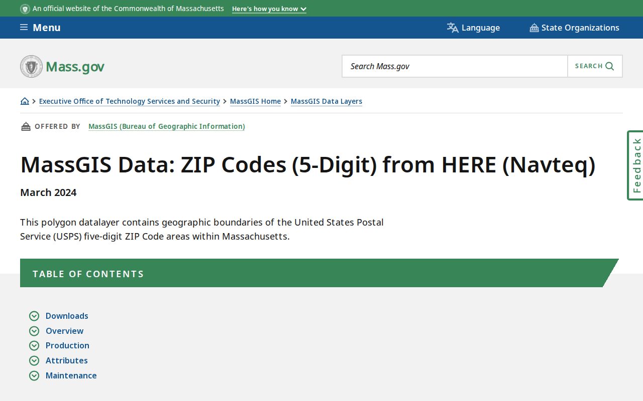
The resource makes the boundary caveat visible: a useful polygon is still not a USPS-maintained delivery map. For an old address, compare the 1915 Street Guide, historic maps, a deed plan, and the current GIS instead of assuming an old postal reference fits the modern city map.
Note: No official street-by-street polygon or complete public list of every 01453 delivery address was verified in the available sources.
Leominster ZIP Code Requests Need an Existing Record
When a ZIP search box does not exist, a precise request is more useful than a request for “everyone in 01453.” Massachusetts Public Records Law covers existing public records, not a duty to create a new citywide roster. Leominster’s public-information form asks for the requester’s contact details, a full description of the record, and a date or date range. The city may provide an estimated cost before processing and says to allow up to 10 business days.
A focused request might ask whether a named municipal record includes an existing ZIP or address field for a stated year, street range, or parcel set. The custodian can then explain whether the record exists, what redactions apply, and whether another office maintains it. The City Clerk, Assessors Office, and elections staff each keep different material, so sending a request to the office that owns the record prevents a ZIP term from becoming an overbroad people search.
Massachusetts regulations at 950 CMR 32.00 govern public-records procedures along with M.G.L. c. 66 and c. 4 §7 cl. 26. The state guidance notes that the first four hours of staff time are generally free, electronic copies generally have no copying fee, and a request can be appealed to the Supervisor of Records. The specific record and any lawful redaction still control the outcome. Keep the USPS result, request date, and exact record description together for a clear audit trail.